


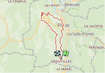

15.3 km | 24 km-effort

Tous les sentiers balisés d’Europe PRO


FREE GPS app for hiking
 SityTrail
IGN / Geographical institutes
SityTrail World
The world is yours!
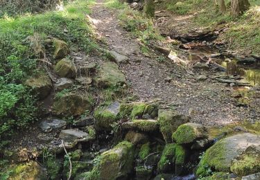
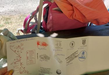
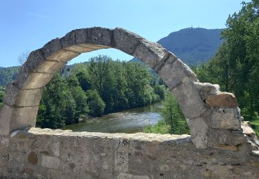
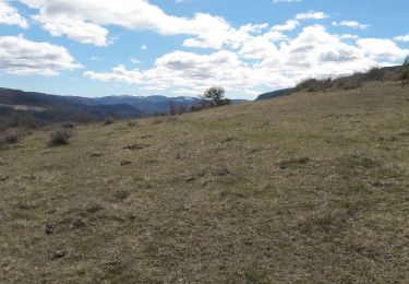
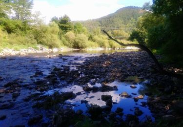
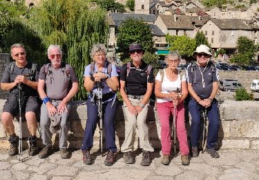
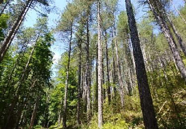
Trail On foot of 15.5 km to be discovered at Occitania, Lozère, Florac Trois Rivières. This trail is proposed by SityTrail - itinéraires balisés pédestres.
Website: http://randonnee.cevenole.free.fr/index.php5?modele=Florac&vue=topo


Walking
Walking
Walking
Walking
Walking
Walking
Walking
Walking
Walking